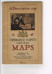
A DESCRIPTION OF THE LARGE SCALE MAPS OF GREAT BRITAIN PRODUCED AND PUBLISHED BY THE ORDNANCE SURVEY With Specimens, Symbol Sheet, and Diagrams.
Published by Ordnance Survey Office in Southampton 1930
SKU: 41557
£15.00
Fourth Edition Large 8vo. (approx. 24.5 x 15.5cm) softback bound in illustrated card covers. 20pp. plus 22 b/w and colour plates, some folding. A clean copy with no previous owners' markings or inscriptions. Light soiling and wear to covers. Overall a Good Copy.


 Red Dragon I.T. Ltd.
