

 Red Dragon I.T. Ltd.
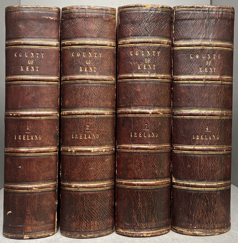
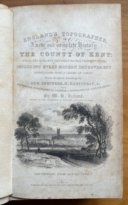
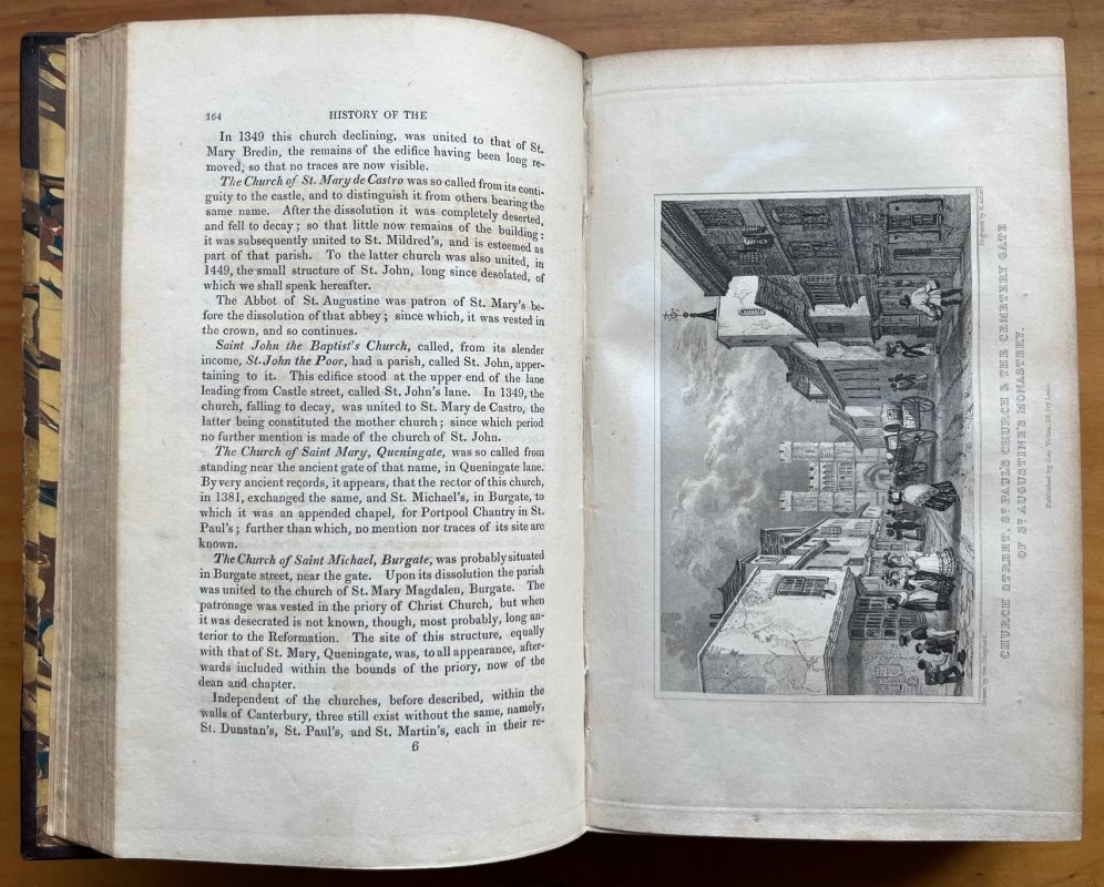
England's Topographer or A New and Complete History of the County of Kent: From the Earliest Records to the Present Time, Including Every Modern Improvement (4 Volumes, Complete) Embellished with a Series of Views from Original Drawings by Geo. Shepherd, H. Gastineau, &c. With Historical, Topographical, Critical & Biographical Delineations.
Published by Geo. Virtue in London 1828-1830
SKU: 61314
£270.00
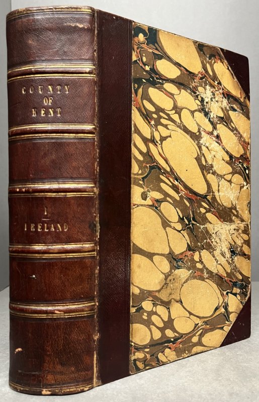
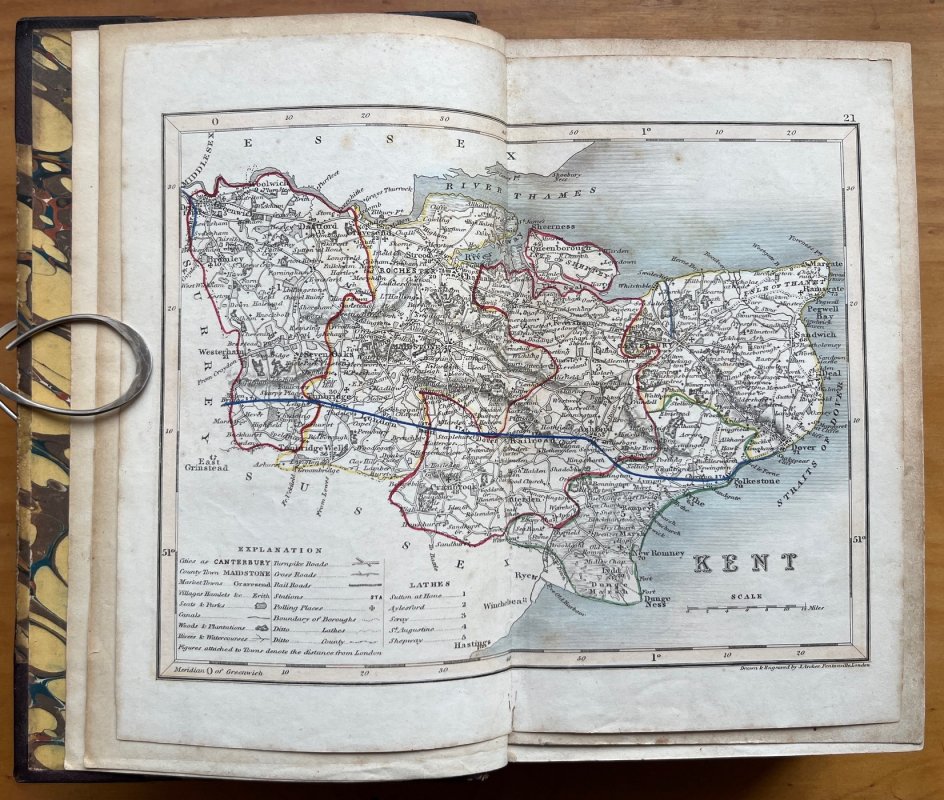
FIRST EDITION 4 Volumes, complete. Large paper edition, approx. 24.5 x 15cm. 8vo. hardbacks in half maroon morocco with raised bands, gilt to spines, and marbles boards. All edges and endpapers marbled. Volume I: Later colour map of Kent (replacing the folding map called for) + ii, + 712pp., illustrated with 30 steel engravings; Volume II: 713pp + 2pp. Directions to Binder, illustrated with 27 steel engravings; Volume III: 698pp + [xviii] Index, illustrated with 29 steel engravings; Volume IV: 780pp + [xiii] index + [2] Directions to Binder + [8] Errata, illustrated with 38 steel engravings. Eack volume with stylish bookplate to front pastedown. Pencil ticks to Directions to Binder in Volume IV. Occasional light foxing. Some offsetting from engraved plates. Rear inner hinge to Volume III is partly split but still holding. Light wear and rubbing to spines and corners. Some scuffing and rubbing to marbled boards. Gilt titles to spines slightly dulled. A GOOD+ SET.
Click an image to enlarge: