

 Red Dragon I.T. Ltd.
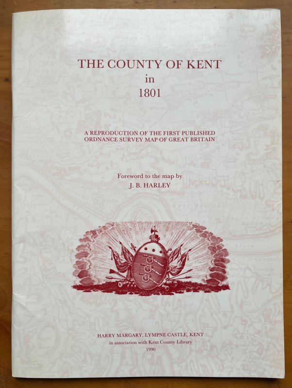
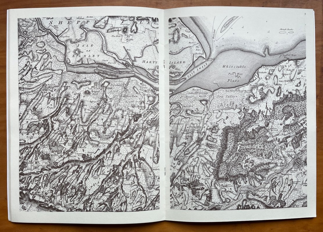
THE COUNTY OF KENT in 1801: A Reproduction of the First Published Ordnance Survey Map of Great Britain
Published by Harry Margary in Association with Kent County Library in Lympne Castle, Kent 1990
SKU: 59447
ISBN: 0903541424
£40.00
FIRST EDITION Large stapled softback (approx. 32.5 x 24cm) with illustrated card covers. Text pages unnumbered. 16 double page maps printed in brown on cream stock. A clean copy with no previous owners' markings or inscriptions. Contains loose catalogue and price list of Harry Margary Publications. A VERY GOOD COPY.
Click an image to enlarge: