

 Red Dragon I.T. Ltd.
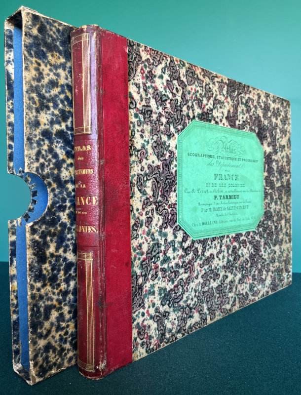
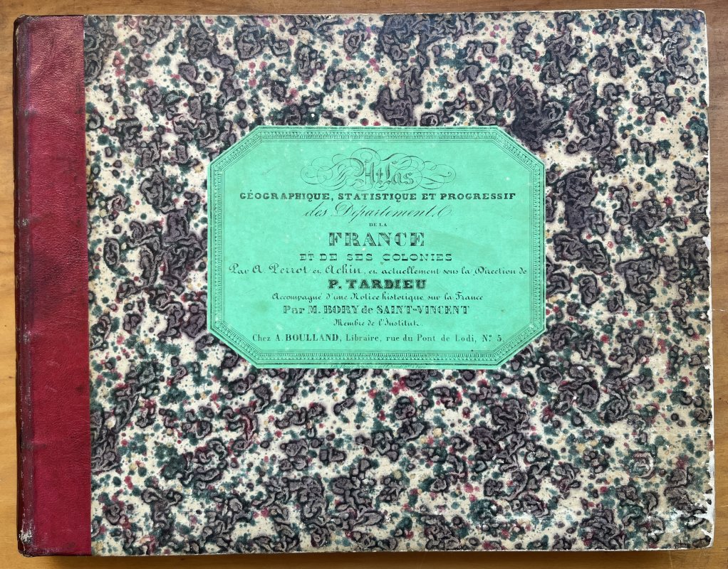
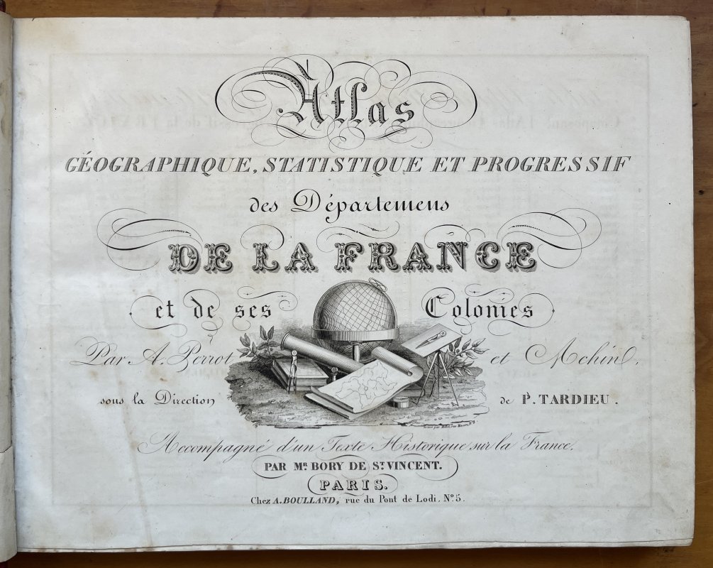
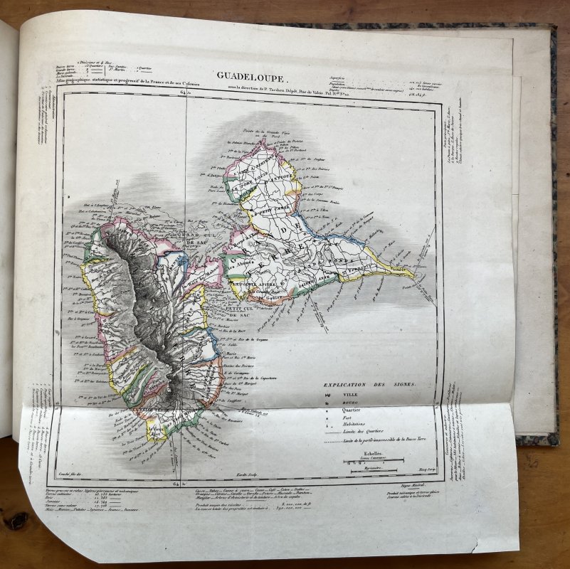
ATLAS GEOGRAPHIQUE, STATISTIQUE ET PROGRESSIF DE LA FRANCE ET DE SES COLONIES (with 97 hand-tinted Maps) Accompagne d'un Texte Historique sur la France.
Published by A. Boulland in Paris [1845]
SKU: 58503
£450.00
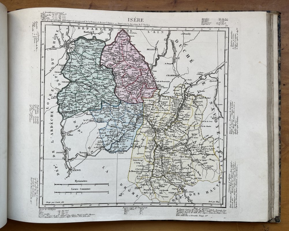
Landscape 4to. (approx. 27.5 x 35cm) hardback in quarter red morocco, decorative gilt to spine, marbled boards and green paper title label to upper board, in marbled slipcase. TEXT IN FRENCH. 12pp. Text followed by large folding Table, 88 hand-tinted maps of the Departments and Paris (35 of which are also duplicated in b/w), 7 large folding hand-tinted maps of the French Colonies and 2 large folding hand-tinted maps of France and les Douanes. A few tiny ink numbers and faint pencil marks to list of Maps at front. No other markings or inscriptions. Occasional light foxing. Small closed tear to ffep repaired with white paper strip. Slight crease to title page. Light soiling and edgewear to red morocco spine and slight rubbing to marbled boards. Edges of marbled slipcase rubbed with small split to one lower edge. Overall a VERY GOOD COPY in GOOD+ SLIPCASE.
Click an image to enlarge: