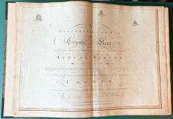
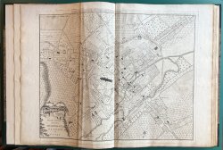
A TOPOGRAPHICAL MAP OF THE COUNTY OF KENT, IN TWENTY FIVE SHEETS. ON A SCALE OF TWO INCHES TO A MILE, from an Actual Survey; in which are expressed all the Roads, Lanes, Churches, Towns, Villages, Noblemen and Gentlemens Seats, Roman Roads, Hills, Rivers,
Published by Printed for Rob. Sayer and Jn. Bennett, Map and Printsellers, No. 53 Fleet Street in London Published according to Act of Parliament, January ye 1st 1779
SKU: 57693
£6,500.00
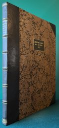
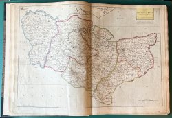
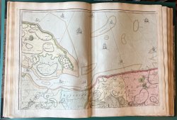
1779 Edition with the extra uncoloured Plan of Canterbury. Folio (approx. 54.5 x 41cm) hardback rebound in half black morocco with raised bands, gilt, to spine and marbled boards with matching black morocco title label, gilt, to upper board. New endpapers. Each map approx. 53.5 x 73.5cm. Contains Title page (Plate 25) with hand-coloured border, Dedication (Plate 21) with hand-coloured border, Map of the County of Kent with outline hand-colouring (no Plate number), 23 fully hand-coloured plates with each Hundred in different colour wash, and an additional uncoloured Plan of Canterbury (no Plate number). Previous bookseller's pencil notes to ffep, else a clean copy with no previous owners' markings or inscriptions. One map with slight crease to centre fold. A couple of other maps with slightly ragged edges, not affecting the image. Tiny chip to marbled paper of upper board and a few tiny white specks to lower morocco corner (please see photos), otherwise a REMARKABLY CLEAN, BRIGHT COPY in VERY GOOD CONDITION.


 Red Dragon I.T. Ltd.
