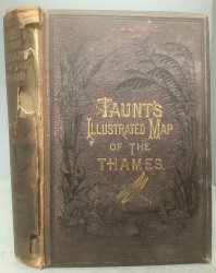
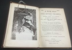
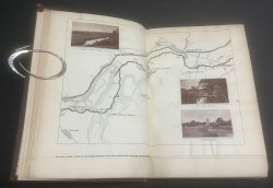
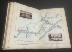
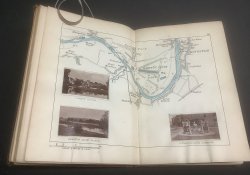
A NEW MAP OF THE RIVER THAMES, FROM THAMES HEAD TO LONDON, (On a Scale of Two Inches to a Mile) From Entirely New Surveys Finished During the Summer of 1878, and Corrected to the Present Time. Combined with Guides Giving Every Information Required by The Tourist, The Oarsman, and The Angler.
Published by Henry W. Taunt in Oxford c.1880
SKU: 55071
£85.00
Third Edition Small 8vo. dark purple pebbled cloth hardback with gilt and black decorative titles to spine and upper board. 212pp. including 40pp. contemporary advertisements. Illustrated throughout with double page b/w maps with spot colour and photographic prints laid on (please see photos) plus one single page with sepia illustrated background and photographic prints laid on. A clean copy with no previous owners' markings or inscriptions. First and last pages of advertisements stuck to covers. Upper board detached but held on by cloth strips of spine which is mostly missing. Rubbing and wear to boards. A READING COPY ONLY, possible candidate for rebind.


 Red Dragon I.T. Ltd.
