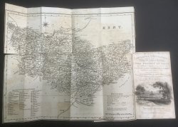
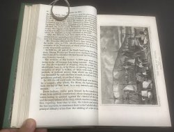
England's Topographer, Or a New and Complete History of the County of Kent: From the Earliest Records to the Present Time, Including Every Modern Improvement. (Four Volume set) Embellished with a Series of Views from Original Drawings by Geo. Shepherd, H. Gastineau, &c. With Historical, Topographical, Critical & Biographical Delineations.
Published by Geo. Virtue in London 1828-1830
SKU: 54888
£295.00
quarter dark green (faded to brown on spines) calf, with raised bands, decorative gilt to spines and green cloth boards. t.e.g. Vol. I: Large folding map of Kent as frontispiece, [ii], 712pp., xix Index, illustrated with 30 engraved plates and vignette to Title page. Vol. II: 713pp. + [xv] Index, illustrated with engraved Frontispiece and 26 engraved plates. Vol. III: 698pp. + [xviii] Index, illustrated with engraved Frontispiece and 28 engraved plates. Vol. IV: 780pp. + [xiii] Index, + [8] Errata, + 19pp. List of Subscribers, illustrated with engraved Frontispiece and 37 engraved plates. Directions to the Binder have all plates ticked in pencil and very occasional pencil marks to text. Couple of small tears and some offsetting to folding map. One plate with tiny old worming holes. Light offsetting from plates throughout. Spines uniformly faded to brown from original dark green. Lower board of Volume I beginning to split at hinge. Light wear to tops of spines. Overall a GOOD+ SET.


 Red Dragon I.T. Ltd.


