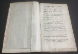
VILLARE CANTIANUM: or KENT SURVEYED AND ILLUSTRATED Being an exact Description of all the Parishes, Boroughs, Villages, and other respective Manors in the County of Kent; and, the Original and Intermedial Possessors of them, down to the Author's time. Drawn out of Charters, Escheat-rolls, Fines, and other
Published by W. Whittingham et al. in Lynn 1776
SKU: 54862
£1,500.00
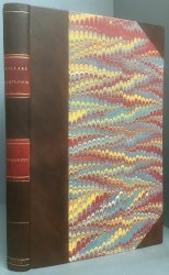
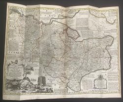
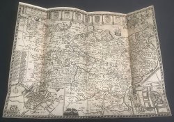
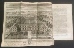
SECOND EDITION, CORRECTED 4to. (approx. 34 x 20.5cm) hardback rebound in modern cdark brown morocco, 2 red title laberl, gilt, to spine and marbled boards. t.e.g. New endpapers. [4], iv, 400pp. plus 11pp. Index and 1p. Advertisement at end. Illustrated with a large hand-coloured folding Map of Kent "An Accurate Map of the County of Kent Divided into its Lathes, 1751" by Eman. Bowen, a rebacked Map of Kent "Kent with her Cities and Earles Described and Observed" nd c.1611 by John Speed. Plus a large folding plate of Bromley College by John Harris, dated 1720, and 2 figures on 1 plate and 1 hand-coloured vignette within text. Elegant ink signature to early blank and small bookplate to rear pastedown. Occasional pencil noted in margins. Some light foxing, occasionally heavier, particularly to untrimmed foredge. A VERY GOOD COPY.


 Red Dragon I.T. Ltd.
