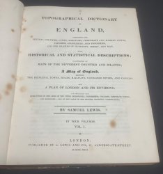
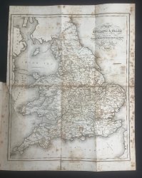
A TOPOGRAPHICAL DICTIONARY OF ENGLAND Comprising The Several Counties, Cities, Boroughs, Corporate and Market Towns, Parishes, Chapelries, and Townships, and the Islands of Guernsey, Jersey and Man, With Historical and Statistical Descriptions. (4 Volumes Illustrated by Maps of the different Counties and Islands; a Map of England, shewing the Principal Towns, Rods, Railways, Navigable Rivers, and Canals; and a Plan of London and its Environs.
Published by S. Lewis and Co. in London 1831
SKU: 54314
£395.00
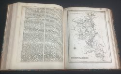
FIRST EDITION 4 Volumes. 4to. hardbacks in half tan calf, raised bands, black and dark red title labels, decorative gilt to spines and marbled boards. All edges speckled red. Vol. I: lxviii, 572pp., illustrated with large folding map of England, 2 further folding maps and 5 single page maps. Vol. II: 538pp., illustrated with 2 folding maps and 10 single page maps. Vol. III: 652pp., illustrated with large folding map of London, 4 further folding maps and 7 single page maps. Vol. IV: 634pp., illustrated with large folding map of Yorkshire, 3 further folding maps and 8 single page maps. All three larger folding maps foxed with a couple of closed tears. Single and smaller folding maps vary from almost no foxing to rather heavy. Occasional light foxing, heavier to prelims. A clean set with no previous owners' markings or inscriptions. Some wear to calf of spines and corners with scuffs and areas of loss of top surface. Boards a little rubbed. Please see photos. Overall a Good Set.


 Red Dragon I.T. Ltd.


